interview with Bénédicte Heindrichs
Fostering cooperation with public administration
Director General SPW ARNE
Bénédicte Heindrichs
Bénédicte Heindrichs has a degree in political science and public administration and holds a certificate in management. She has developed her career in various Belgian political bodies in the fields of spatial planning, housing and the environment. Appointed Director General of the Institut Scientifique Public (ISSeP) in 2015 by the Walloon government until 2020, she is currently Director General of the Walloon Public Service for Agriculture, Natural Resources and the Environment (SPW ARNE).

Welcome Bénédicte, thank you for making the time to talk to us. Could you tell us a bit about yourself and the role of the SPW (Public Service of Wallonia)?
"My name is Bénédicte Heindrichs, and I have always been fascinated by the beauty of the world. That’s why I have always worked in the environmental field. Specifically, for the past four years, I have been the General Director within the Walloon public service, responsible for agriculture, environment, forestry, natural resources, nature, and animal welfare.
The SPW Agriculture, Natural Resources, and Environment ensures the preservation of Wallonia’s natural and rural heritage through a sustainable development approach aimed at securing quality resources essential for life for future generations. Concretely, it oversees and controls the management of natural resources: air, land, water, subsoil, fauna, and flora, whose biodiversity it protects. It plays a key role in the prevention, monitoring, and protection of the environment. With regards to water management, it manages non-navigable waterways and plays a crucial role in flood risk management and addressing important issues related to climate change."
The SPW has many responsibilities in Wallonia. Among these missions, which ones relate to the themes covered by JCAR ATRACE (floods, droughts, land planning, emergency situations, etc.)?
"The SPW ARNE that I lead is directly involved in the various themes covered by the JCAR ATRACE project. Indeed, one of my services is responsible for managing part of Wallonia’s hydrographic network's non-navigable waterways, specifically those classified as first-category non-navigable waterways under Walloon regulations. These represent no less than 1,900 km of the linear total of Wallonia's rivers and streams. We are, therefore, significant players in the implementation and coordination of flood risk management plans (PGRI).
We have also implemented river action programs (PARIS: Action Program on Rivers through an Integrated and Sectorized Approach) where we have defined integrated management objectives for each river sector, considering interconnected issues: hydraulic, economic, but also ecological and cultural.
My Directorate-General is not responsible for land planning. However, we remain an essential stakeholder, as we are called upon to provide opinions on land planning and urban development projects. We are also involved in several initiatives alongside our SPW TLPE colleagues, such as participating in project monitoring committees like the “Vesdre” master plan.
While emergency management, such as flooding or forest fires, falls under rescue services (civil security, fire department, medical services, police, national defense, etc.), we can participate and provide our expertise in the areas we manage. We have developed an internal procedure that can apply to any situation we might face in the course of our duties, regardless of whether it involves mobilizing emergency services. This general procedure can be supplemented by specific procedures handled by a department, such as an emergency waste management plan following a major event (flood, earthquake, etc.) or an action plan following accidental pollution."
The Walloon Water Days took place earlier this year. What were the most important themes related to water, and what were the key points for citizens?
"The Walloon Water Days are indeed a must-attend event in the spring. They are organized by River Contracts and their partners. The overall objective of these days is to support the UN’s Sustainable Development Goal #6: clean water and sanitation for all by 2030. Each River Contract, however, remains free to choose themes that may be more specific to the reality of the watershed they work on. More than 300 activities, forming a rich, varied, and entirely free program, were organized by the 14 active River Contracts throughout Wallonia. These included visits to water-related facilities (treatment plants, drinking water production stations, floodplain zones, or temporary immersion areas), nature walks around water-related sites, cultural visits linked to water (old mills, fountains, the industrial past related to water, etc.), field actions (clean river operations, amphibian rescue actions, participatory projects, etc.), conferences, and awareness-raising activities on water management (drainage and treatment, stormwater management and infiltration, impacts of extraordinary weather events, and solutions implemented for better resilience, films related to water, etc.)."

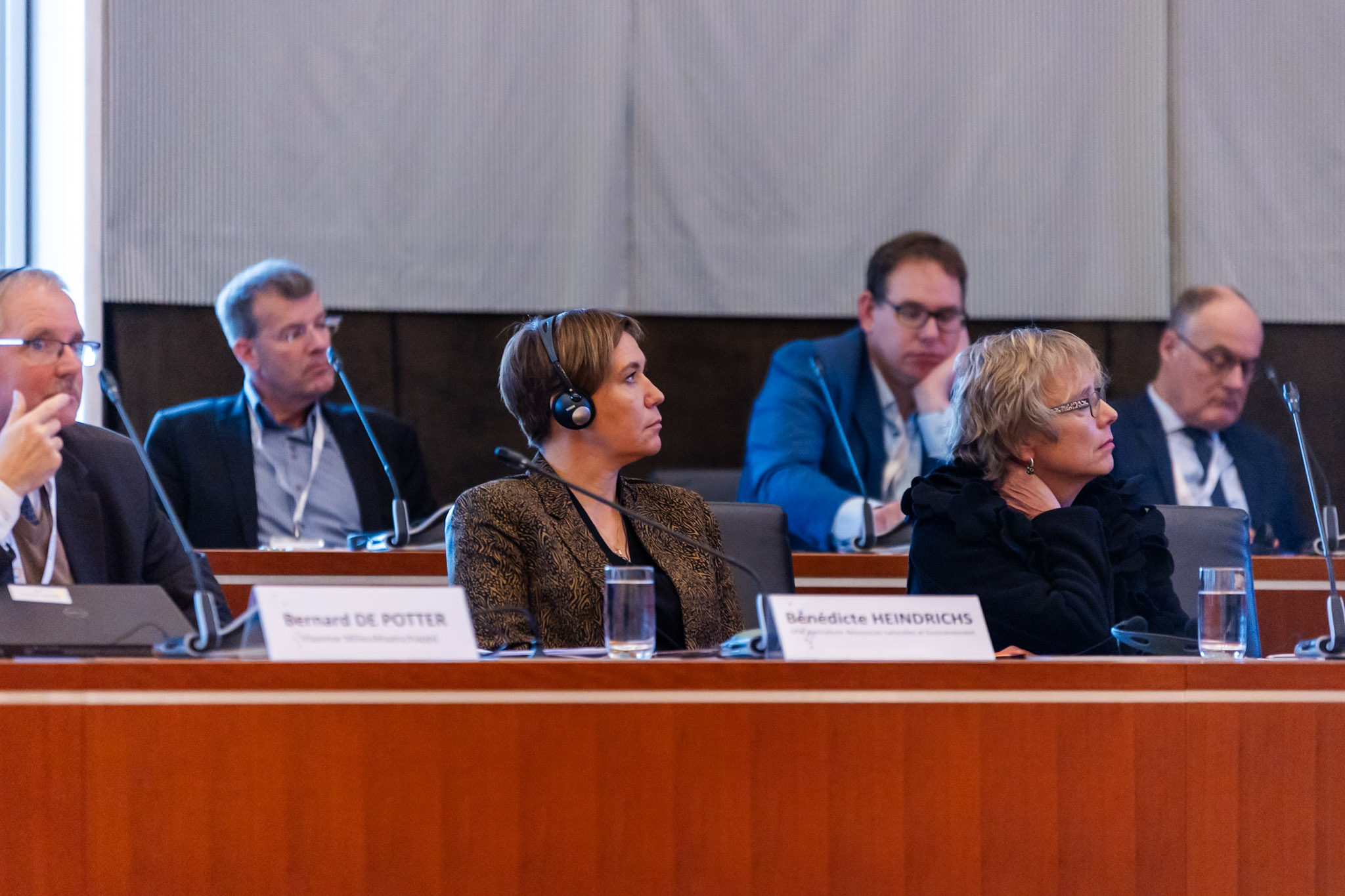
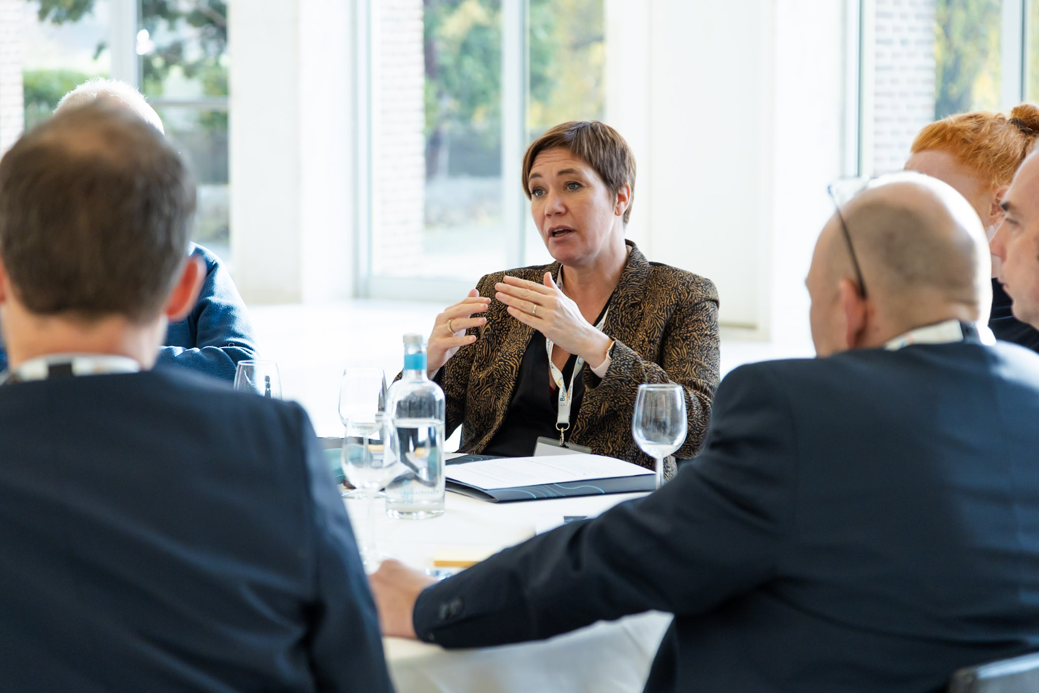
Ms Heindrichs at the JCAR ATRACE launch event in November 2023
We will face more crises. If we fail to anticipate and manage these future crises, we will be incapable, even in normal circumstances, of coping with a world that is constantly evolving and changing at a rapid pace. This is where the added value of knowledge cooperation programmes such as JCAR ATRACE lies. Through the increased cooperation among public administration and water management experts on local and regional level, we can become better prepared for such extremes.
Bénédicte Heindrichs, Director General SPW ARNE
The Walloon Region is confronted with various administrative boundaries, for example, within Belgium and with neighboring countries such as Germany and the Netherlands. How do these boundaries affect the work of the SPW?
"The SPW ARNE has long been involved in collaboration with neighboring countries and regions. Indeed, since the late 1990s, Wallonia has actively participated in the work of the Meuse (CIM) and Scheldt (CIE) Commissions and, to a lesser extent, the Rhine Commission, where the Region holds observer status. This collaboration has established contacts with counterpart administrations in the Netherlands, Germany, Luxembourg, and the regions of Flanders and Brussels-Capital. These Commissions have enabled stakeholders to reach a shared vision on several points of water management that are important beyond their borders. This collaboration has led to tangible outcomes, such as setting up an alert and alarm network for accidental pollution shared by partners within the CIM and CIE, as well as the coordination of different management plans under the Water Framework Directive (PGDH) or flood directives (PGRI) through umbrella plans. I can also mention the data and flood forecast exchange agreement, which came into full effect in 2017.
This collaboration is primarily within a national or regional framework. The SPW ARNE also shows interest in smaller, local cross-border projects, such as the Interreg EMFlood Resilience project, which concluded in 2023. I also supported the Flood Wisdom project, which is expected to be submitted to Interreg authorities and follows on from EMFlood Resilience.
In 2022 and 2023, the SPW ARNE held several meetings with local water management authorities in the Netherlands, the Limburg Water Board, and in Germany, the Wasser Verband Eifel-Rur. These exchange meetings led to the realization of a local collaboration for the Gueule basin in the form of a working group called “Hydrological Study of the Gueule Watershed,” which includes SPW representatives in charge of non-navigable waterways."
We notice that weather conditions are becoming increasingly unpredictable and extreme, with longer droughts in recent years and now a very wet 2024. How is the SPW preparing for these difficult circumstances?
"Like every EU member state and region, Wallonia has developed flood risk management plans (PGRI). The floods of 2021 showed us that the flood risks we had defined needed to be revised in light of these events. They also led to an update of the Walloon Recovery Plan, which allocated nearly 100 million euros for watercourse development work, project calls related to flood adaptation or protection, and funding for projects or studies for affected municipalities.
To better prevent future flood risks, the Walloon Government has allocated around 450 million euros to rebuild certain parts of non-navigable waterways in the most resilient manner, including nature-based solutions based on the results of the hydraulic models I mentioned earlier.
Regarding droughts, Wallonia adopted a comprehensive drought strategy in July 2021, coinciding with the tragic events that were affecting part of Wallonia at the same time. This strategy is based on two pillars: the regional water resources scheme led by the SWDE, in which we are involved, and the SPW ARNE drought system coordinated by my administration. This strategy consists of three main axes: eco-resilience, demand analysis and management, and resource strengthening and mobilization. Several projects have been launched under the recovery plan, with these measures also being included in other plans, such as flood risk management plans, as the proposed solutions are effective for both “too much water” and “too little water.” Nature-based solutions are, of course, prioritized. Among the projects and achievements, I will highlight one concerning agriculture’s adaptation to climate change. We are developing a pilot project in western Hainaut in an agricultural land management area, which showcases a range of solutions and the best locations for their implementation. Among the solutions that can be implemented, besides the “classic” ones like pond installations, riparian hedges, or re-establishment of floodplain forests, I want to highlight the concept of ZOGES, or water management zones, which are similar to temporary immersion zones but actually serve multiple uses based on the different filling levels planned: permanent water retention at the lowest level, which allows for biodiversity development in an aquatic environment, but that can also serve as a reserve and water storage, and a maximum level used for flood control.
This strategy does not only include water-related measures. For example, the theme of forest fires is also addressed. Droughts and associated heatwaves will inevitably increase the risk of fires in natural environments. The Nature and Forests Department is preparing for this by adapting its outdated plans that no longer match the growing risk. It has also developed a tool to be shared with emergency services, with whom we regularly collaborate, and to whom we provide our field expertise."


One of these extreme weather conditions was, of course, the July 2021 flood, which had dramatic consequences. In your opinion, what value could the JCAR ATRACE program add in preparing for such extreme conditions?
"If I refer to the Research topic Inventory, which lists suggestions proposed by the Walloon participants during the brainstorm session at the Benelux Waterday in Maastricht, I could mention a couple. We are particularly interested in research towards the vulnerability of the population to floods and the potential effect of preventive measures. The primary victims of floods are, above all, the directly affected citizens. Another related topic of interest for us is the development of tools to predict flood damage to guide household adaptation or protection."
Do you have any specific suggestions for urgent transnational research topics beyond those you already suggested during the Benelux Waterday in Maastricht last November?
"We had already collectively suggested a large number of research topics. If I had to add one to the list, it would undoubtedly be the development of a tool that quickly provides a real-time map of areas likely to be flooded based on rainfall forecasts. Indeed, when a local official is warned of a risk of rising water levels, it is more useful for them to know which area is likely to be flooded rather than a river’s water level."
