Effects of nature-based measures for extreme flood and drought mitigation
Nature-based measures are seen by many water managers and other stakeholders as very attractive options to reduce the impacts of floods and droughts in the future. Key examples include reforestation, river course meandering, damming drainage channels, increasing the drainage base and creating wetlands. Besides risk reduction, these measures often contribute positively to increased biodiversity, landscape quality and a healthier living environment.


Currently, however, it is not sufficiently clear under which conditions nature-based measures contribute to reducing flood and drought risks. A reliable assessment of this contribution is important because the implementation of these measures is complex and time-consuming. Moreover, measures intended to reduce drought may have a negative impact on flood risks and vice versa. It also proves difficult to compare costs and benefits with other types of measures (e.g. civil engineering) that reduce flood and drought risks.
Knowledge questions
JCAR ATRACE develops knowledge to contribute to accelerated adaptation to climate change, through nature-based measures. To fulfil this ambition, we aim to answer the following questions for the different river basins.
- What might be the impact of different nature-based measures on flooding, drought and associated risks (e.g. people affected or damage)?
- What is the scale of interventions that should be considered to achieve a substantial effect? And how long does it take for the intervention to work effectively?
- To what area scope do these effects extend: do they only lead to local upstream effects or, on the contrary, do they also have regional downstream effects?
- Under what weather conditions do diverse measures have positive or negative effects on drought and flooding?
- To what extent are the effects catchment-specific and what characteristics of the catchment are then decisive (think subsoil, area size, land use, topography, etc.)?
- How does raising groundwater levels lead to hydrological restoration of natural areas and increase baseflow?
- What is the spatial (upstream and downstream) distribution of the costs and benefits of these types of measures? After all, measures may have unintended side effects at a different location than what they were intended for.
- To what extent can nature-based measures substitute or complement civil engineering measures to reduce flood and drought risk?
In answering the knowledge questions, we use empirical data and computational models. In the water world, there are many types of calculation models, which differ in how they describe the water system, for instance in terms of time step, resolution and the processes included. With this, the assumptions that modellers (have to) make to quantify the effectiveness of measures also differ. JCAR ATRACE therefore uses different models to indicate a range of expectation on how effective nature-based measures work in practice.
To make informed decisions in water management, it is important to have knowledge of the influence of model choices on expected effectiveness of measures. In JCAR ATRACE, we are therefore trying to arrive at supported 'good modelling practices', with an understanding of availability and target coverage of different computational models, so that uniform methods are developed in that area as well.
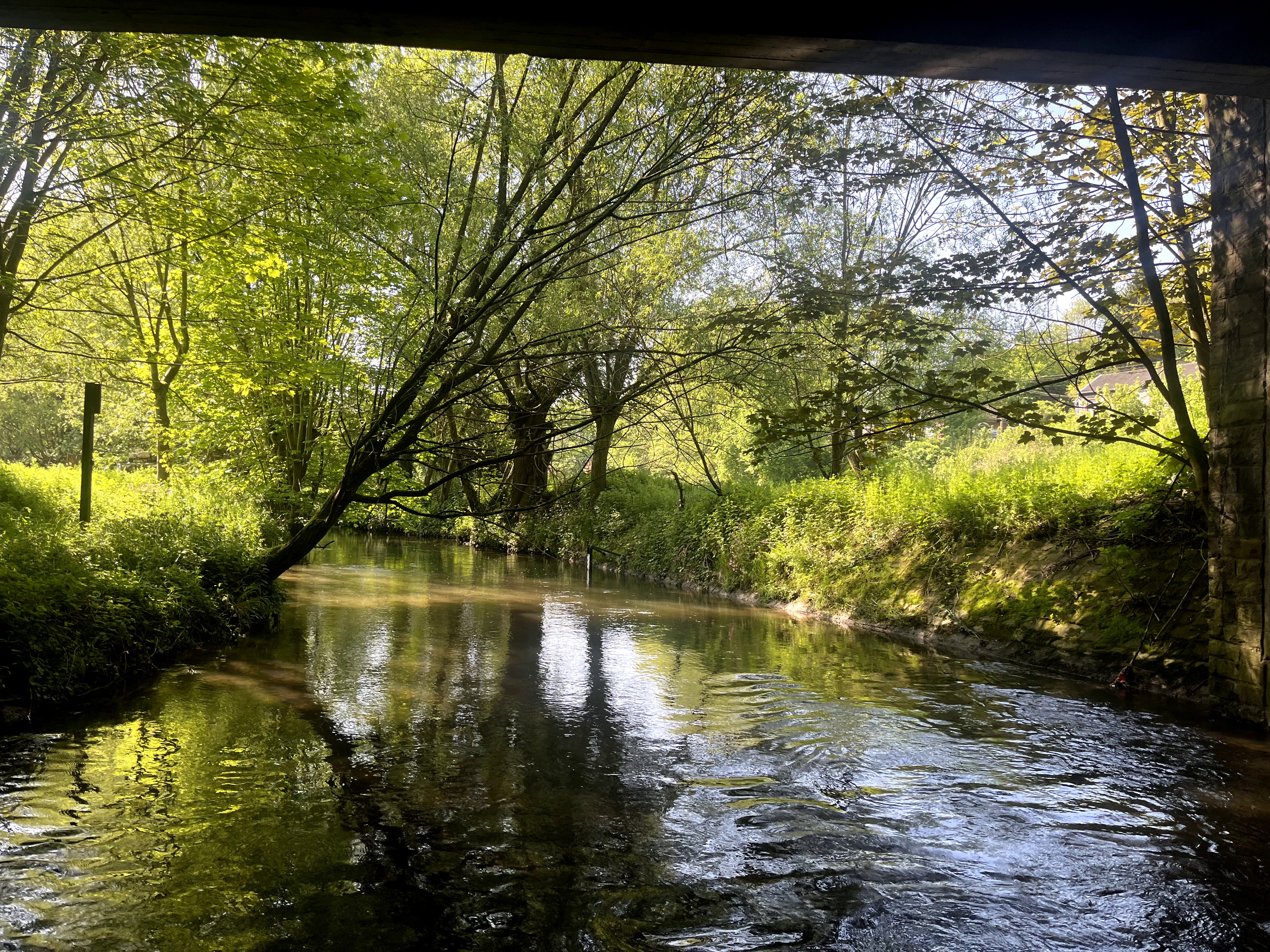
First MSc studies in 2024
For several catchment areas, several MSc students started in 2024 to answer parts of the above research questions.
Geul river basin
Julius Overhoff, Romijn Servaas and Huub Koper recently graduated from VU Amsterdam with studies on effect determination of some nature-based measures on flood risk in the international Geul and Meuse river basin. The students used three different computer models, to find out to what extent these modelling tools are suitable for effect determination and to what extent model choices influence the result.
The completed studies for the Geul catchment confirm some earlier conclusions of, among others, Asselman et al. (2023) and Slager et al. (2022) that only very large-scale implementation of (nature-based) measures (afforestation) in the catchment can substantially reduce peak discharges (as in 2021) at both Valkenburg and Meerssen (18-35%, respectively). Realising smaller areas of (new) forest, or the massive planting of hedge rows, while more realistically feasible under current policies, only yield a limited reduction of up to a few percent in peak discharges at a large event like 2021.
The studies also show that forest characteristics, in particular the degree of forest development, have a great influence on the calculated reductions. In a barely developed forest (young plantation), peak runoff reductions of only 5% are calculated, while in a mature forest the calculated reductions reach more than 80%. This is mainly because as the forest grows, the soil also develops. In an aging forest, the organic matter content and porosity of the soil increase and with it the infiltration capacity and permeability of the upper part of the soil. More rain is also captured by the vegetation. It should be noted, however, that it is not (yet) very clear what role the (deeper) subsoil in the catchment plays on peak discharge: once rainwater has entered the soil, there is often enough space in the subsoil to store this water, and thus slow down discharge. What is clear is that it takes time to achieve the full beneficial effect of reforestation.
Some simulations assuming 20 or 50% less rainfall than in July 2021 show that under these conditions peak runoff is reduced relatively more than for the larger rainfall events. This indicates that the relative effect of nature-based measures becomes smaller for larger rainfall events.
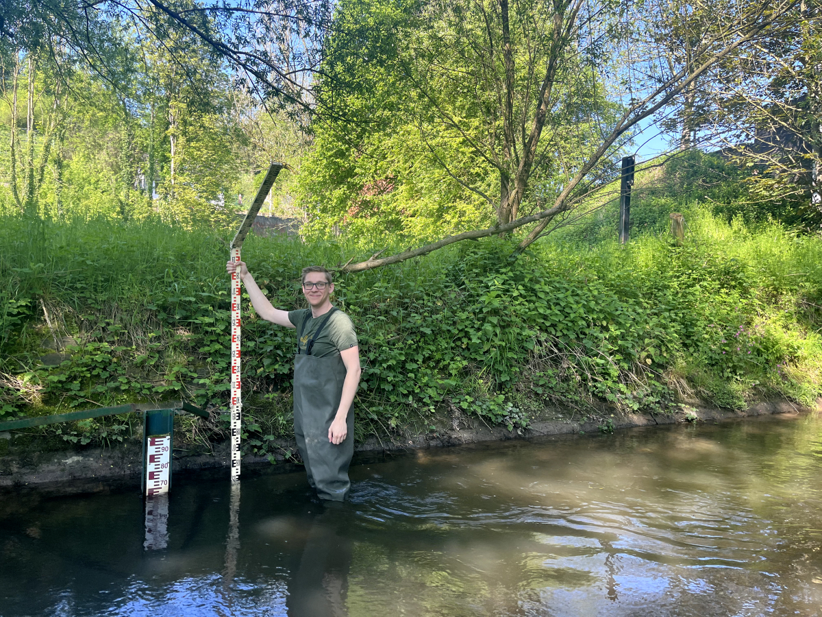
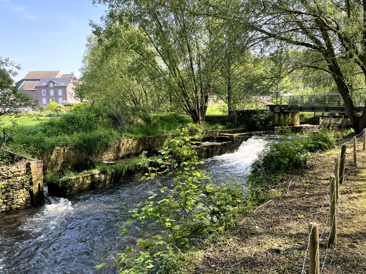
The choice of different hydrological and hydrodynamic models and chosen model assumptions also appears to be important. OpenLISEM and the wflow-SOBEK model used in previous research seem well capable of approximating the estimated peak discharges in 2021 and also provide several opportunities to mimic nature-based measures in the model.
OpenLISEM, a combined hydrological and hydrodynamic model, has the advantage that it offers many opportunities to make land-use changes. These changes affect the functioning of the soil and hence stormwater runoff.
The wflow-SOBEK model, in turn, can better describe measures in the river flow bed and also seems better suited to calculate effects during droughts. Both models do require a rather long calculation time (6 - 12 hours) per model simulation of an event due to the chosen level of detail, making it relatively time-consuming to do many simulations.
Another hydrodynamic model - SFINCS - that we tested is known for its very short computation times (a few minutes), due to computational simplifications of hydrological processes. This model proved capable of approximating the July 2021 peak discharge and can also simulate some of the influences of NBS measures, such as changes in land use and runoff. However, it offers less ability than the other models tested to realistically represent NBS measures in the model and simulate their impact.
The (socio-)hydrological model - GEB- due to its coarse resolution of about 1 by 1 km in space and time (day basis), is less suitable for reliably simulating this type of extreme flooding in the relatively small Geul river basin. It was therefore decided to shift the focus of this thesis research to the entire Meuse catchment and specifically look at the impact of reforestation on downstream discharge due to changes in interception, soil, evaporation and groundwater.
Vecht river basin
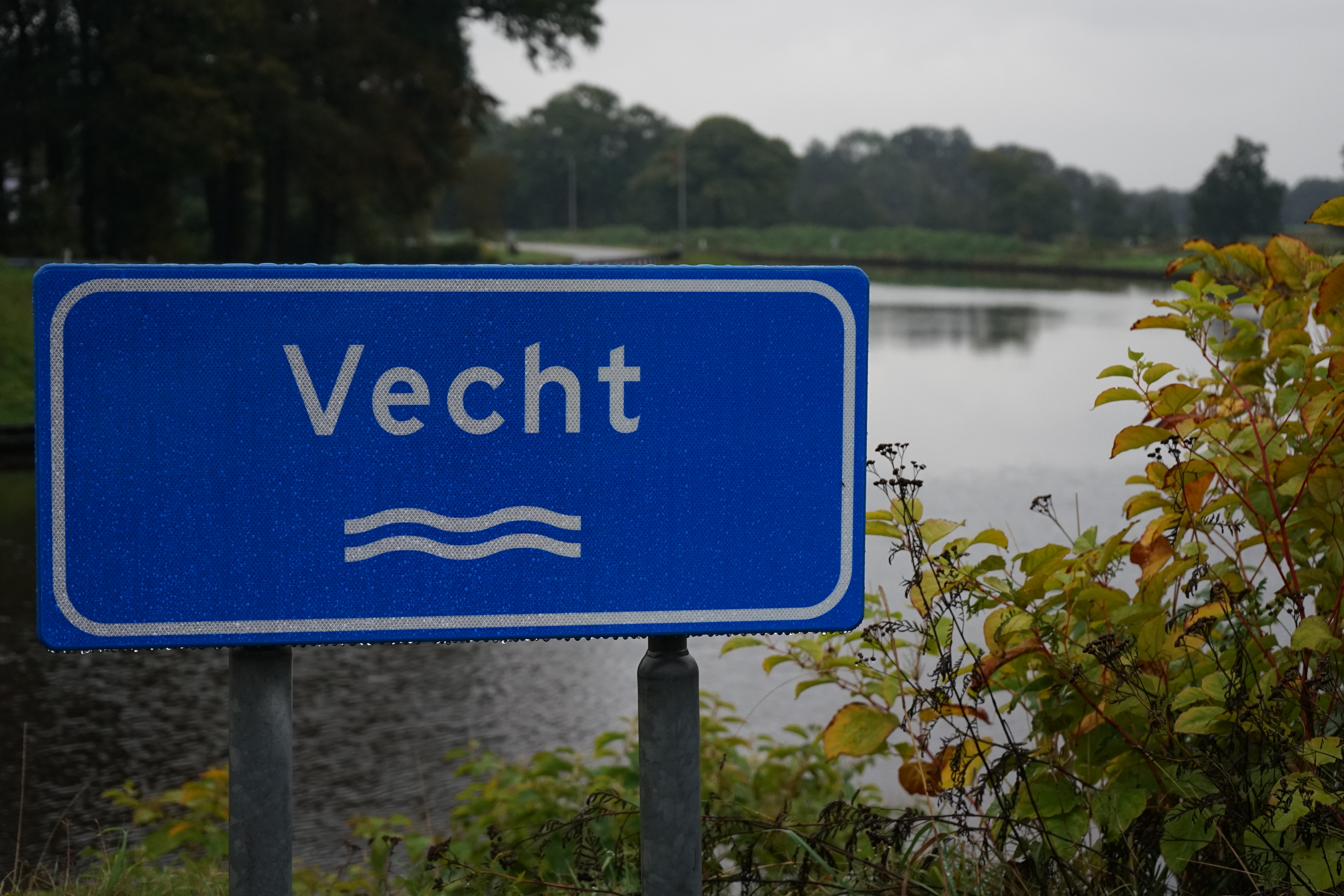
Two other students, Ivan Leegwater and William Cazemier, are currently working on their graduation project at the University of Twente. In their research, they focus on determining the effects of nature-based measures on flood and drought risks, but in the (Overijsselse) Vecht river basin. They too use different hydrological calculation models - wflow and LISFLOOD. Their results are expected later this year.
Research related to effectiveness of nature-based measures will be extended to the other river basins in the coming years and will be conducted in cooperation with all JCAR ATRACE knowledge institutes.
Kymo Slager
Senior flood risk expert at Deltares, Programme Manager of JCAR ATRACE
Angela Klein
Water Management Expert at Deltares

Hans de Moel
Assistant Professor at VU University Amsterdam

Jens de Bruijn
Assistant Professor at VU University Amsterdam
